SUBJECT AREAS
Water, Architecture and Heritage: Khettarat, Ksour/Kasbahs and Oasis Territories
Special Joint Session: Traditional Hydrotechnologies and Artificial Intelligence (Morocco-Spain CSIC-CNRST Cooperation Network)
Context and Objectives
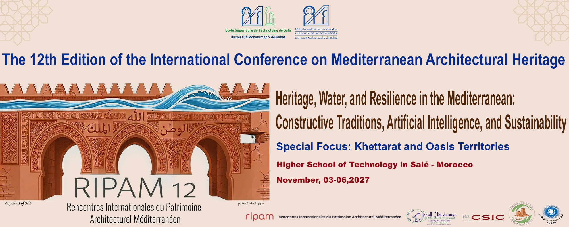
The 12th edition of the Rencontres Internationales du Patrimoine Architectural Méditerranéen (RIPAM 12) comes at a crucial turning point. As Mediterranean and Saharan regions face unprecedented climate urgency, the survival of oasis territories relies on our capacity to understand, preserve, and reactivate millenary socio-ecological systems.
At the heart of this balance lies the symbiotic relationship between Water and the Built Fabric: the underground networks of Khettarat (qanats) that capture and distribute life, the Ksour and Kasbahs built from the very earth they protect, and the Palm Groves that create the microclimate necessary for human settlement.
The objective of this edition is twofold: to perpetuate the core RIPAM mission of safeguarding earthen and Mediterranean architecture, and to inject modern computational capabilities, such as Machine Learning, Satellite Remote Sensing (InSAR), and Digital Twins, to monitor, diagnose, and adapt these historical hydro-architectural landscapes to climate change.
Conference Topics
Subject Area 1: Baseline Studies, Cultures of Construction and Territorial Reading
- Multidisciplinary approaches: Historical, archaeological, anthropological, and eco-hydrogeological readings of architectural and water territories.
- Comparative hydrotechnologies: Cross-analytical studies of Khettarat (Morocco), Qanats/Acequias (Spain), and ancestral water infrastructures across the Mediterranean.
- Settlement & landscape morphology: Spatial grammar of oasis urbanism, the water–settlement–palm grove triad, and historic earthen architecture.
- Territorial risk mapping: Environmental vulnerability assessment regarding soil degradation, desertification, and changing hydrological regimes.
Subject Area 2: Material Pathologies, Structural Diagnostics and AI-Driven Assessment
- Material degradation mechanics: Moisture dynamics, salt crystallization, ground instability, and erosion patterns in earthen (rammed earth, adobe) and stone structures.
- Non-Destructive Diagnostics: Advanced condition surveys, non-destructive testing (NDT), geotechnical analysis, and structural health monitoring (SHM).
- AI & Predictive modeling: Machine Learning applications for automated pathology detection, structural failure prediction, and groundwater movement modeling.
Subject Area 3: Conservation Design, Compatible Materials and Bioclimatic Architecture
- Theoretical frameworks & doctrines: Reconciling international conservation charters (authenticity, reversibility, compatibility) with local community practices.
- Material science & innovation: Characterization and application of local geo-sourced materials (earth, lime, timber) and compatible eco-innovations.
- Bioclimatic performance: Passive thermal behavior of historic Ksour/Kasbahs, energy sobriety, and climate-responsive traditional design.
- Regulatory & protection tools: Management plans, legal frameworks, building codes, and heritage protection instruments.
Subject Area 4: Advanced Interventions on Khettarat & Historic Hydraulic Infrastructures
- Rehabilitation engineering: Cleaning, de-silting, gallery consolidation, and structural stabilization of shafts and underground conduits.
- Nature-Based Solutions (NbS): Merging ancestral water-harvesting practices with contemporary hydraulic engineering.
- Worksite protocols & safety: Risk prevention, ventilation systems, access safety, and structural monitoring during heritage restoration works.
- Artisanal know-how & transmission: The role of traditional master builders, intergenerational skill transfer, and specialized team management.
Subject Area 5: Smart Data, Geomatics, HBIM and Digital Twins
- Advanced spatial surveying: UAVs (drones), LiDAR, high-resolution photogrammetry, and GIS mapping of historic settlements and water networks.
- HBIM & Database integration: Interconnecting Heritage Building Information Modeling with hydrogeological, structural, and climate data layers.
- Satellite remote sensing: Utilizing InSAR satellite data and computer vision to monitor millimetric land displacement and detect buried hydraulic layouts.
Subject Area 6: Infrastructure Governance, Climate Resilience and Scientific Cooperation
- Water Commons & traditional law: Ancestral governance models (customary water rights, allocation keys) and their contemporary legal integration.
- Climate adaptation strategies: Community-led resilience, risk management frameworks, and preventive conservation against extreme weather events.
- Institutional & scientific cooperation: Trans-Mediterranean research networks, interdisciplinary policies, and collaborative project evaluations.
Subject Area 7: Valorization, Digital Mediation, Tourism and Water Archives
- Cultural routes & eco-tourism: Sustainable heritage itineraries centered around historic water trails, active oases, and earthen architecture.
- Digital interpretation & mediation: Virtual reconstructions, immersive storytelling, and digital twins for museum curation and public awareness.
- Memory, archives & historical sources: Conservation, digitisation, and analysis of historical manuscripts, water deeds, maps, and oral archives.